厄立特里亚达人
INformation For U
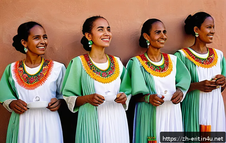
近年来,厄立特里亚的时尚文化正以独特的方 ...
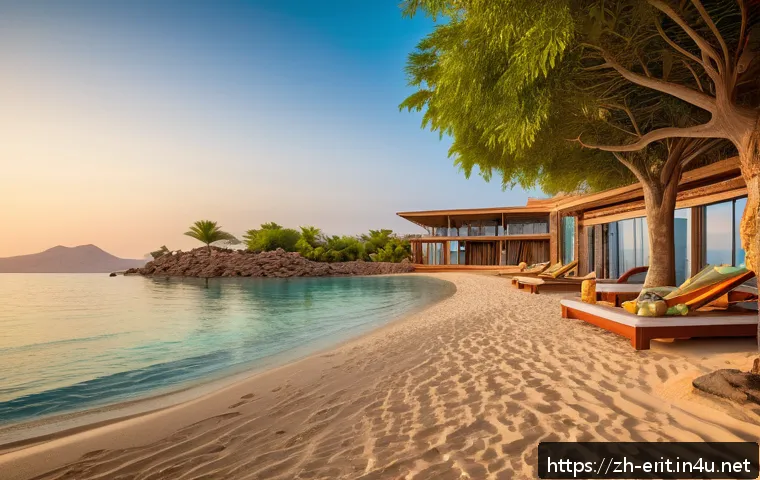
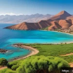
近年来,非洲旅游逐渐成为全球旅行者的新宠 ...
近年来,厄立特里亚女性权利问题逐渐进入国 ...
More